
It can be considered a little sad that those living in Milton Keynes are not always aware of why certain locations are located quite where they are ! Why is Central Milton Keynes located where it is ? What is the significance of Saxon ?

Avebury Boulevard ? Avebury Stones near Marlborough. Marlborough Street was the first new road to be built connecting North and South Milton Keynes.

Silbury Boulevard ? As in Silbury Hill not far from the Avebury Stones ?

Midsummer Boulevard ? Better today to be referred to as DEAD END STREET !

Three major roads set down on the Milton Keynes Development Corporation's Strategic Plan as ley lines within the new city. Three parallel lines of roads crossing Central Milton Keynes, the location of the original Saxons.
Midsummer Boulevard aka Dead End Street is now in twenty-four hour darkness since the short-sighted planners in Milton Keynes Council gave permission for a totally unnecessary shopping building - The intu. What does intu mean ? Intruder ? It has intruded and destroyed the Midsummer Boulevard ley line !
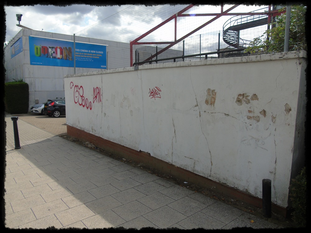
Located on Dead End Street is The Point, a decaying example of Milton Keynes Council's planning policy. Opening in 1985 it was the first multiplex cinema in the country. In 1991 it hosted a royal première of Harrison Ford's Presumed Innocent and was attended by Sarah, Duchess of York.

When Milton Keynes Council first decided that the policy of Milton Keynes Development Corporation that no building shall be taller than the surrounding trees was of no consequence and gave planning permission for the Xscape it dealt a death blow to the iconic Point. Even English Heritage refused to recognise it.


Take the map again and trace a line from Newport Pagnell Services, the first service station on the motorway network, to Denbigh Hall/Leon Bridge. Trace another from midway between The Cock Inn and The Bull Inn in Stony Stratford to Fenny Lock. Where do these two ley lines cross ?
To be continued................
No comments:
Post a Comment